Rising abruptly from the high desert plains near Flagstaff, the San Francisco Peaks are a sight that stops you in your tracks. This volcanic mountain range isn't just a beautiful backdrop; it's a hiking destination that offers a genuine high-altitude challenge, with Humphreys Peak claiming the title of Arizona's highest point at 12,633 feet. But here's the thing most generic guides miss: hiking here is as much about respecting a sacred landscape as it is about conquering a summit. The peaks are deeply significant to several Native American tribes, particularly the Navajo (Diné), who know them as Dook'o'oosłííd, one of the four sacred mountains marking the boundary of their homeland. Your hike isn't just a physical endeavor; it's a visit to a living cultural monument.
Your Hike at a Glance
What Are the San Francisco Peaks?
Let's get oriented. The San Francisco Peaks are the remnants of a massive stratovolcano that collapsed millions of years ago. What's left are several distinct summits surrounding the inner caldera. The major peaks you'll see are:
- Humphreys Peak (12,633 ft): The highest in Arizona.
- Agassiz Peak (12,356 ft): The second highest, closed to hiking to protect fragile tundra.
- Fremont Peak (11,969 ft): Also closed to protect the environment.
- Aubineau Peak (11,818 ft) & Rees Peak (11,474 ft): Lesser-known peaks within the inner basin.
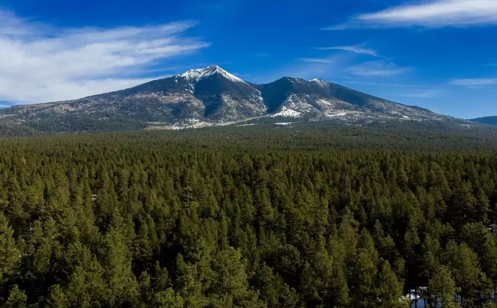
The entire area is managed by the Coconino National Forest. There's no entrance fee for the general forest, but specific trailheads may have a day-use fee (typically $5-$10, cash or check). The main hub for all hikes is the Arizona Snowbowl ski resort area, located on the western slopes at the end of Snowbowl Road, about 14 miles northwest of downtown Flagstaff. This is where you'll find the primary trailheads, limited parking, and restrooms. The trails are open year-round, but access is heavily dependent on snow conditions. Summer and early fall are the prime hiking seasons.
Hiking Humphreys Peak: The Main Event
The Humphreys Peak Trail (#151) is the only maintained route to the top of Arizona. It's a serious hike, not a casual stroll. Many people underestimate it because of the modest round-trip distance. They pay for that mistake with altitude sickness or exhaustion.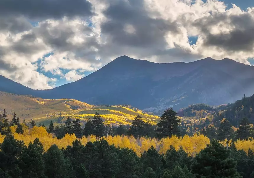
Humphreys Peak Trail: The Essentials
Trailhead: Humphrey's Peak Trailhead, at the far end of the Arizona Snowbowl parking lot (Snowbowl Rd, Flagstaff, AZ 86001).
Round-Trip Distance: 10.5 miles
Elevation Gain: 3,300 feet
Estimated Time: 6-9 hours for most hikers
Difficulty: Strenuous. The combination of distance, steep sections, and high altitude makes this a challenge.
Permit: No specific permit is required, but you must fill out a free, self-issue Wilderness Permit at the trailhead register. This is for your safety and for land management data.
Best Time to Hike: Late June through early October, when the snow has melted. Always check conditions with the Coconino National Forest office before you go.
The hike breaks down into three distinct sections. The first 2.5 miles wind through a dense forest of aspens and evergreens. It's a steady climb, but the shade is welcome. Around the 2.5-mile mark, you break through treeline at the saddle between Humphreys and Agassiz. This is where the real test begins.
The next 2.5 miles are above 11,000 feet, exposed, and rocky. The trail becomes a series of cairn-marked switchbacks over loose scree. The views are breathtaking, but the air is thin. This section is where pacing is everything. I've seen too many strong hikers from lower elevations burn out here because they didn't acclimate or pace themselves. The final push to the summit is a short scramble. The summit itself is a rocky outcrop with a USGS marker. On a clear day, you can see the Grand Canyon to the north. The descent is often harder on the knees than the climb up.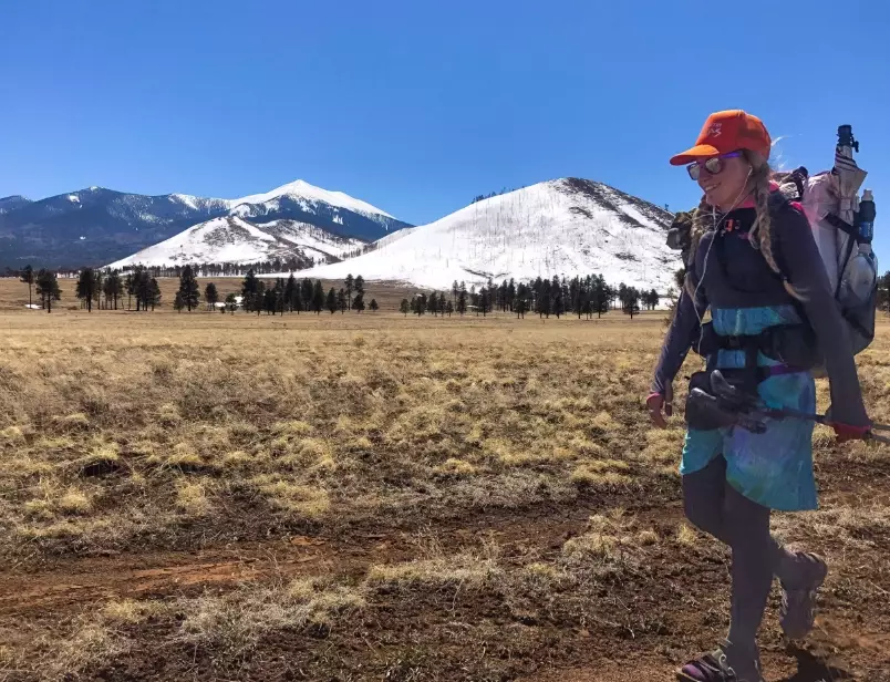
More Trails: Beyond the Summit
Not up for the full summit grind? The Peaks offer fantastic hikes that don't require a full-day sufferfest. Here are two excellent alternatives that showcase the area's beauty.
| Trail Name | Distance (RT) | Elevation Gain | Difficulty | Best For |
|---|---|---|---|---|
| Weatherford Trail to Doyle Saddle | 8 miles | ~1,800 ft | Moderate | Experiencing the inner caldera views without the extreme altitude of Humphreys summit. |
| Kachina Trail | 6 miles (one-way, shuttle advised) | Minimal (rolling) | Easy to Moderate | A peaceful walk through wildflower meadows and aspen groves on the Peaks' southern slope. |
| Humphreys Peak via the Weatherford Trail | 14+ miles | ~4,000 ft | Very Strenuous | Ultra-runners and hikers seeking a longer, more gradual (but still tough) route to the summit. |
The Weatherford Trail, starting from the Schultz Pass area, is a personal favorite. It feels more remote, and the view from Doyle Saddle into the vast, forested inner basin is something special. You're looking at the heart of the ancient volcano.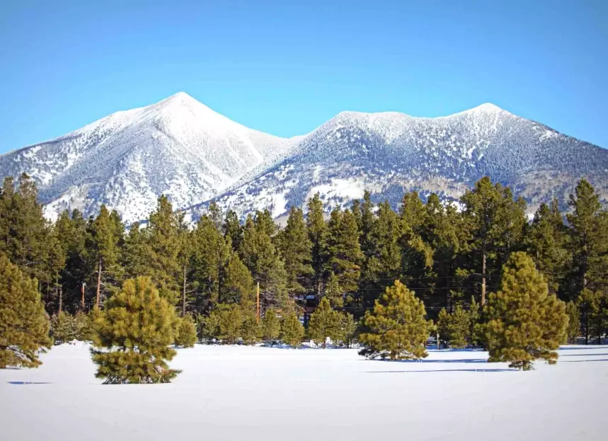
Your Step-by-Step Hike Planner
How to Get Permits and Beat the Crowds
No advanced permits needed, but that free self-issue Wilderness Permit at the trailhead is mandatory. To avoid the parking chaos at Snowbowl, arrive before 7 AM, especially on weekends. Parking fills up fast. Carpool if you can. An alternative is to take the Mountain Express bus from Flagstaff to Snowbowl during the summer season—check the Northern Arizona Intergovernmental Public Transportation Authority (NAIPTA) website for schedules.
When is the Best Time to Hike the San Francisco Peaks?
July, August, and September are the most reliable. June can still have significant snow patches. By mid-October, winter storms can arrive. The monsoon season (July-August) means afternoon thunderstorms are a daily threat. You must be off the summit and below treeline by noon to avoid lightning danger.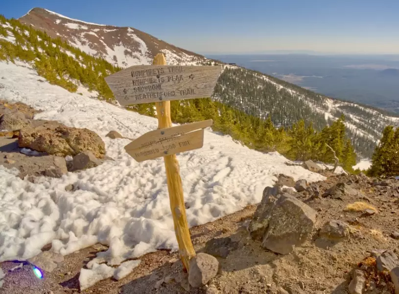
What to Pack: The Non-Negotiable Gear List
This isn't a city park. Your daypack needs:
Water: 3-4 liters per person. There are no reliable water sources on the trails.
Food: High-energy snacks and a lunch.
Layers: A moisture-wicking base layer, insulating mid-layer (fleece/puffy), and a waterproof/windproof shell. Temperatures can swing 40+ degrees from base to summit.
Footwear: Sturdy, broken-in hiking boots with good ankle support for the rocky terrain.
Other Must-Haves: Map/GPS, headlamp, first-aid kit, sunscreen, hat, sunglasses, trekking poles (a lifesaver for the descent).
Where to Stay and Eat in Flagstaff
Flagstaff is your basecamp. It's a full-service city with everything. For a pre-hike carbo-load, hit NiMarco's Pizza downtown. Post-hike, you'll crave a burger and a beer—Diablo Burger on Leroux Street won't disappoint. For lodging, the Drury Inn & Suites offers good value and a hot breakfast. For a more rustic feel close to the trailhead, look into cabins in the Kachina Village area.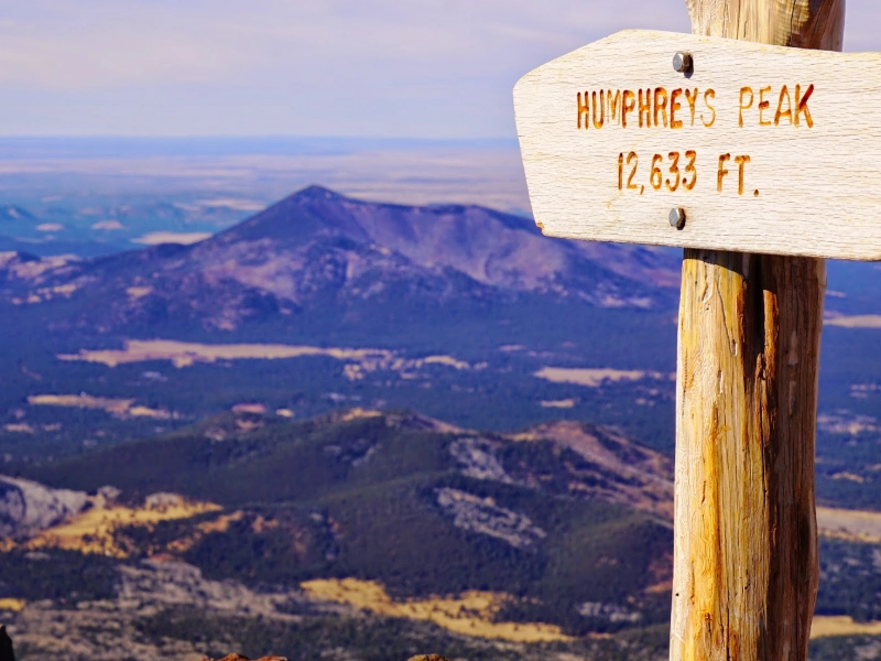
Understanding the Sacred Landscape
This is the part most hiking guides gloss over, and it's critical. To the Navajo, the San Francisco Peaks (Dook'o'oosłííd) represent the sacred mountain of the west, associated with the color yellow and the precious substance of abalone shell. It's a place of prayers, offerings, and healing. The Hopi, Zuni, and other Pueblo tribes also hold the peaks sacred.
What does this mean for you as a hiker? Respect. It means staying on designated trails to avoid damaging sensitive plants used in ceremonies. It means not building cairns or moving rocks, as they may be part of prayer sites. It means packing out every single scrap of trash—not just yours, but any you see. It means understanding that for many, this isn't a recreational playground but a church. Your mindful presence honors that.
Safety First: Altitude & Weather
The biggest dangers here are altitude sickness and volatile weather. Flagstaff sits at 7,000 feet. The summit is over 12,600 feet. That's a huge jump. Spend at least 24-48 hours in Flagstaff or the surrounding area to acclimate before attempting Humphreys Peak. Symptoms of altitude sickness include headache, nausea, dizziness, and fatigue. The only cure is to descend.
Mountain weather is notorious. Sunny mornings can turn into violent thunderstorms with lightning, hail, and freezing temperatures by early afternoon. You must check the National Weather Service forecast for Humphreys Peak specifically, not just Flagstaff. Start your hike at dawn to ensure you're descending by the time clouds build. If you hear thunder, see lightning, or the sky darkens, turn around immediately. No summit is worth the risk.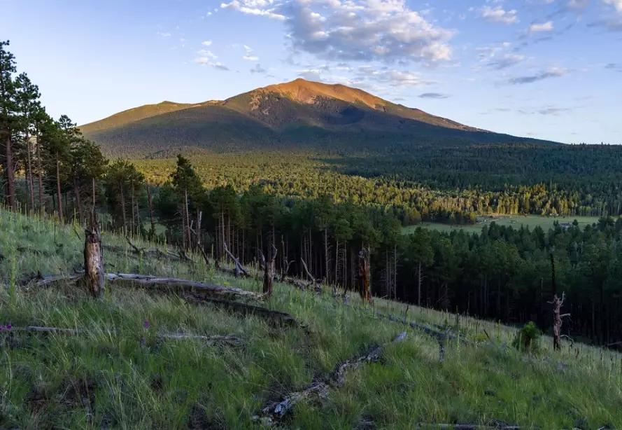
Reader Comments