Let's cut to the chase. You're here because you've heard the name "San Francisco Peaks" in Arizona and wondered, logically, if there's a connection to the city over 700 miles away. Maybe you're planning a hike and hoping for an impossibly epic vista. Or perhaps you're just a geography nerd like me, intrigued by the quirks of place names. The short, definitive answer is no, you cannot see the city of San Francisco from the San Francisco Peaks in Arizona.
It's a classic case of a name creating a persistent myth. I've stood on the summit of Humphreys Peak, the highest of the San Francisco Peaks, multiple times. The view is breathtaking, but it's a distinctly Arizona and Southwest view. The idea of spotting California's coast is pure fantasy, and understanding why reveals some fascinating science and geography.
What You'll Find in This Guide
The Short Answer: A Resounding No
Not a chance. Not on the clearest day, not with the most powerful telescope. The two locations are separated by the entire state of Nevada and a significant chunk of California. The San Francisco Peaks are a volcanic mountain range just north of Flagstaff, Arizona. The city of San Francisco sits on a peninsula on the central California coast. The linear distance between Humphreys Peak (12,633 ft / 3,851 m) and downtown San Francisco is approximately 752 miles (1,210 kilometers).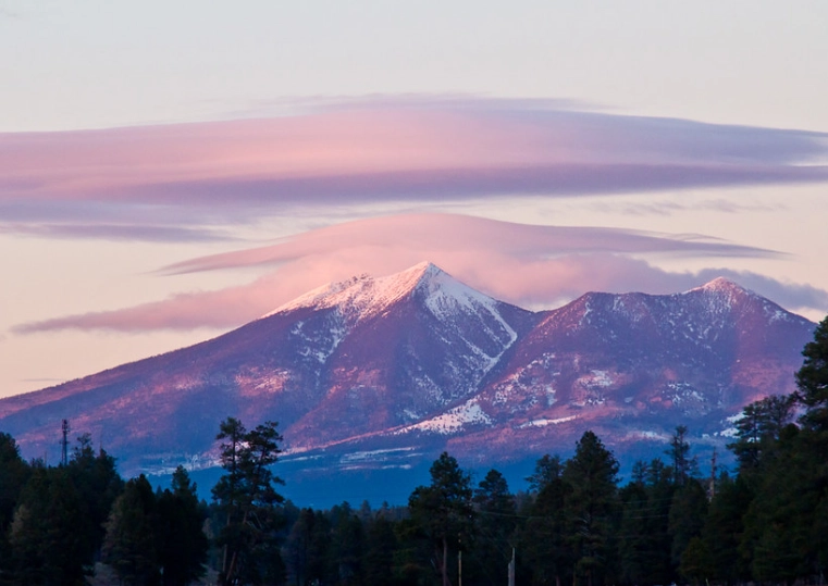
Think about that. You're trying to see something farther away than the distance from New York City to Chicago. The curvature of the Earth alone makes this an absolute impossibility. It's one of those questions that sounds plausible because of the shared name, but falls apart with even a cursory glance at a map.
The Naming Quirk: The peaks were named in 1629 by Spanish Franciscan friars in honor of St. Francis of Assisi. They were known as "Sierra de San Francisco." The city, founded much later in 1776, was named for the same saint. The connection is religious, not visual.
Why It's Physically Impossible: The Hard Numbers
Let's move beyond "it's far" and get into the specific barriers. This isn't just opinion; it's basic physics and geometry.
The Curvature of the Earth is Your Biggest Enemy
This is the non-negotiable factor. Earth is a sphere (okay, an oblate spheroid), and its surface drops away from your line of sight. To see an object at sea level from a height of 12,633 feet, the maximum theoretical distance is about 138 miles (222 km). This calculation, using the standard formula for geometric horizon distance, assumes perfect refraction. San Francisco is over five times that distance away.
Even if you built a skyscraper on the San Francisco Peaks, you'd never win against the planet's curve at that range.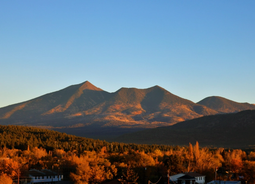
Atmospheric Haze and Clarity
Even for distances that are geometrically possible, the atmosphere gets in the way. Air is not perfectly clear. It contains moisture, dust, and pollutants that scatter light. Over 750 miles, the cumulative effect is total obscuration. What you perceive as blue sky is actually a veil that becomes impenetrable over such vast stretches.
On exceptionally clear days in Arizona, you might see mountains 100-150 miles away with sharp detail. I've seen the La Sal Mountains in Utah from the North Rim of the Grand Canyon, a distance of about 110 miles. That feels like a miracle. 750 miles is in a completely different league.
Visual Range Reality Check
One of the longest documented terrestrial sightlines is from Pic de Finestrelles in the Pyrenees to Pic Gaspard in the Alps, a distance of roughly 443 km (275 miles). This required specific, rare atmospheric conditions (superior mirage/looming) and both points are over 8,000 feet high. It's considered an extreme outlier. Our Arizona-to-California view would need to nearly double that record, with the added challenge of looking towards a coastal city often shrouded in marine layer fog.
What You Can Actually See from the Top of the San Francisco Peaks
So, if not San Francisco, what can you see from Humphreys Peak? The view is spectacular and worth the hike for its own sake. On a clear day, the panorama encompasses an area roughly the size of South Carolina.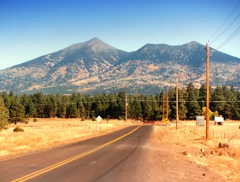
| Direction | What You Can See | Approximate Distance | Notes |
|---|---|---|---|
| North | The Vermilion Cliffs, Paria Plateau, and the edge of the Utah state line. | 80-100 miles | The vast, painted desert landscape of the Colorado Plateau. |
| East | The Painted Desert, the Hopi Mesas, and the distant silhouette of the Lukachukai Mountains. | 60-90 miles | A stunning view into Navajo and Hopi land. |
| South | The city of Flagstaff, Mormon Lake, the Mogollon Rim, and on ultra-clear days, the Mazatzal Mountains near Phoenix. | 10-120 miles | The Mogollon Rim is a defining geological feature of central Arizona. |
| West | The Aubrey Valley, the Grand Canyon (its eastern edge), and the Kaibab Plateau. | 50-80 miles to the Canyon | You're not seeing the main tourist overlooks, but the vast, deep trench of the Canyon's eastern end is visible. |
The Grand Canyon view is the real prize. From the summit, you're looking across at the North Rim. It's a perspective few visitors get—seeing the Canyon as a massive gash in the earth from nearly 80 miles away. It puts its scale into a mind-boggling context.
If You Go: Humphreys Peak Practicals
The view demands effort. The Humphreys Peak Trail is the standard route.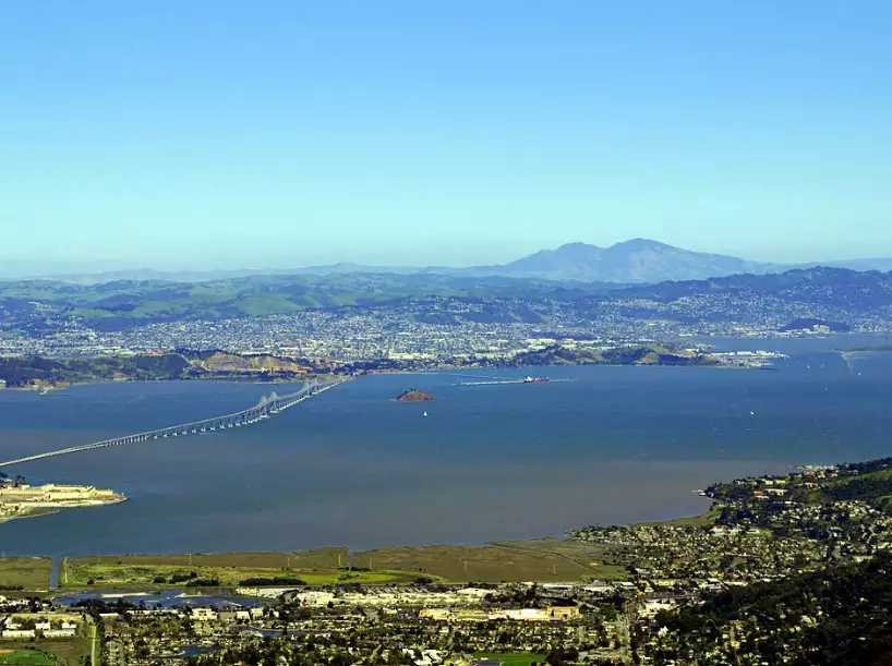
- Trailhead: Humphrey's Peak Trailhead, located in the Arizona Snowbowl ski area. Address: 9300 N Snow Bowl Rd, Flagstaff, AZ 86001.
- Fee: You need a Recreation.gov pass for parking ($5-$10 depending on season). The Coconino National Forest sells day passes.
- Distance & Elevation: 10.5 miles round-trip. Elevation gain: 3,300 ft. It's a strenuous, high-altitude hike.
- Best Time: Late June through early October. The trail is often covered in snow from November to May. July and August bring monsoon thunderstorms—start very early to summit by noon and avoid lightning.
- My Pro Tip: Don't underestimate the altitude. Flagstaff is at 7,000 ft, the summit is over 12,600 ft. Acclimatize for a day in Flagstaff first. Headache and nausea are common for those who rush. The false summit is a notorious spirit-crusher; the real summit is further along the rocky ridge.
Where CAN You See San Francisco from Afar?
The desire for a long-range view of the Golden Gate is understandable. While Arizona is out, there are places in California that offer staggering views of the Bay Area from impressive distances.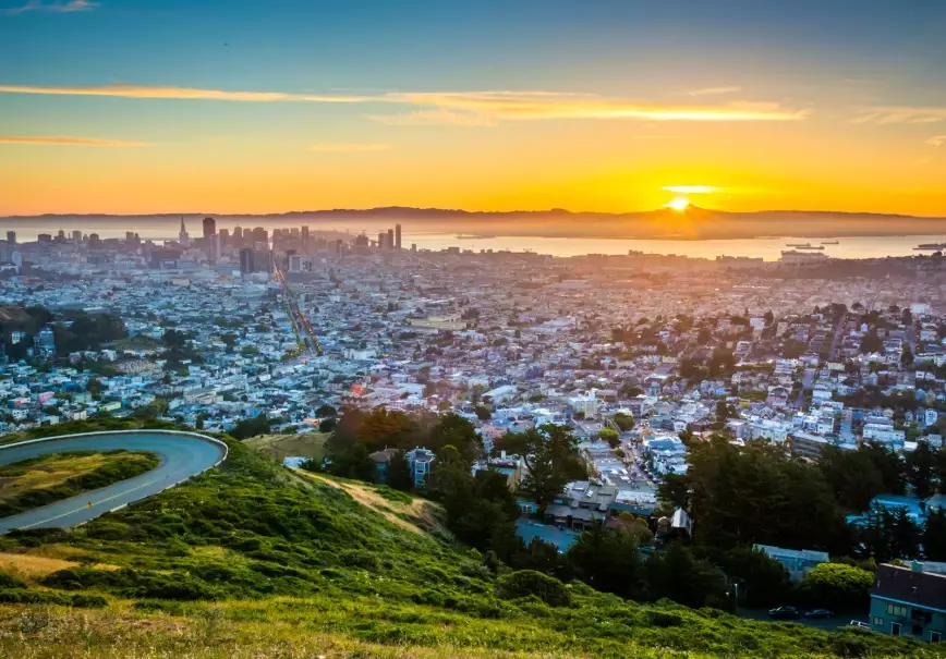
1. Mount Diablo State Park (East Bay): This is the king of long-distance views in the region. On a clear day after rain, from the summit at 3,849 ft, the Mount Diablo Summit Museum has an official marker pointing to sights you can see. The claim is that you can see more of the Earth's surface from here than from any other point on the planet except Mount Kilimanjaro, due to its isolated prominence. You can clearly see the Farallon Islands (30 miles west), the Sierra Nevada snowcaps (150 miles east), and of course, downtown San Francisco about 35 miles southwest. It's the best answer to the spirit of the original question.
2. Mount Tamalpais State Park (Marin County): "Mount Tam" offers iconic, closer views of the city, the Golden Gate Bridge, and the entire bay. From the East Peak (2,571 ft), it's a classic 25-mile view. The Pacific Ocean is right at your feet to the west.
3. Sierra Nevada Lookouts: From high points in the Sierra like the Leavitt Peak area (near Sonora Pass) or Mount Lola, on days with exceptional atmospheric clarity, it is theoretically possible to see the distant silhouette of Mount Diablo, which then frames the Bay Area. This is a 150+ mile view and an extremely rare event, requiring perfect conditions. It's the kind of sighting experienced backpackers and pilots might report once in a lifetime.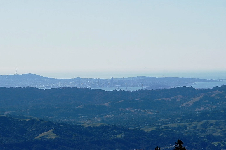
Your Questions, Answered
If the Earth is curved, how do we see distant mountains at all?
Atmospheric refraction bends light slightly over the horizon. Think of a spoon in a glass of water looking bent. This effect allows you to see objects that are geometrically just below the horizon, extending the visual range by about 8-10%. It's why the sun is visible before it actually rises. But this effect is tiny. It helps you see a mountain 140 miles away instead of 138. It doesn't work over 700 miles.
Can you see the ocean from the San Francisco Peaks?
No. The Gulf of California (Sea of Cortez) is about 350 miles south, and the Pacific Ocean is over 500 miles west. Both are far beyond the visual horizon from the peak's elevation.
What's the most common thing people mistake for San Francisco when up there?
Nothing, really. The view is so distinctly of the high desert and Colorado Plateau that it doesn't trigger "city" associations. A more common mistake for newcomers is misidentifying the Grand Canyon, thinking it's a closer, smaller valley. The scale from that distance is deceptive.
Are there any peaks where you can see two states away?
Yes, but with strict limits. From high points in the Appalachians, like Spruce Knob in WV, you can see multiple states because the distances are shorter and the terrain is rolling. In the West, from the summit of Boundary Peak in Nevada (on the CA border), you can see deep into both states. The key is the "states" need to be adjacent. Seeing three states away, like from AZ to CA coast, is firmly in the realm of physics-defying myth.
With perfect atmospheric conditions and a powerful enough telescope, could you see it then?
No. The telescope magnifies the image, but it cannot gather light from an object that is physically hidden behind the curvature of the Earth. It's not a matter of zoom or clarity; it's a matter of line-of-sight geometry. The city is over the horizon, blocked by the planet itself. A telescope can't see through the ground.
Reader Comments